The Delaware River Watershed Initiative (DRWI) is powered by science, and scientific approaches to water quality inform everything we do. Our approach is based on an innovative combination of modeling, monitoring and community science. We are proud to share our data tools and soon-to-be released, comprehensive Dashboard tool that will allow communities, partners and decision makers to dig deep into water quality data for any stream or river reach in the Delaware River Basin.

Concentrating our Efforts
With original, groundbreaking research being generated by our lead science partner, the Academy of Natural Sciences of Drexel University, and Stroud Water Research Center, River Network and the University of Maryland Environmental Finance Center, we combine rigor with community engagement to target areas where we can make and measure meaningful change in water quality. Dubbed “the concentration theory,” this approach focuses on stream and river reaches where restoration, green infrastructure and agricultural best practices can move the needle on key drivers of aquatic health.
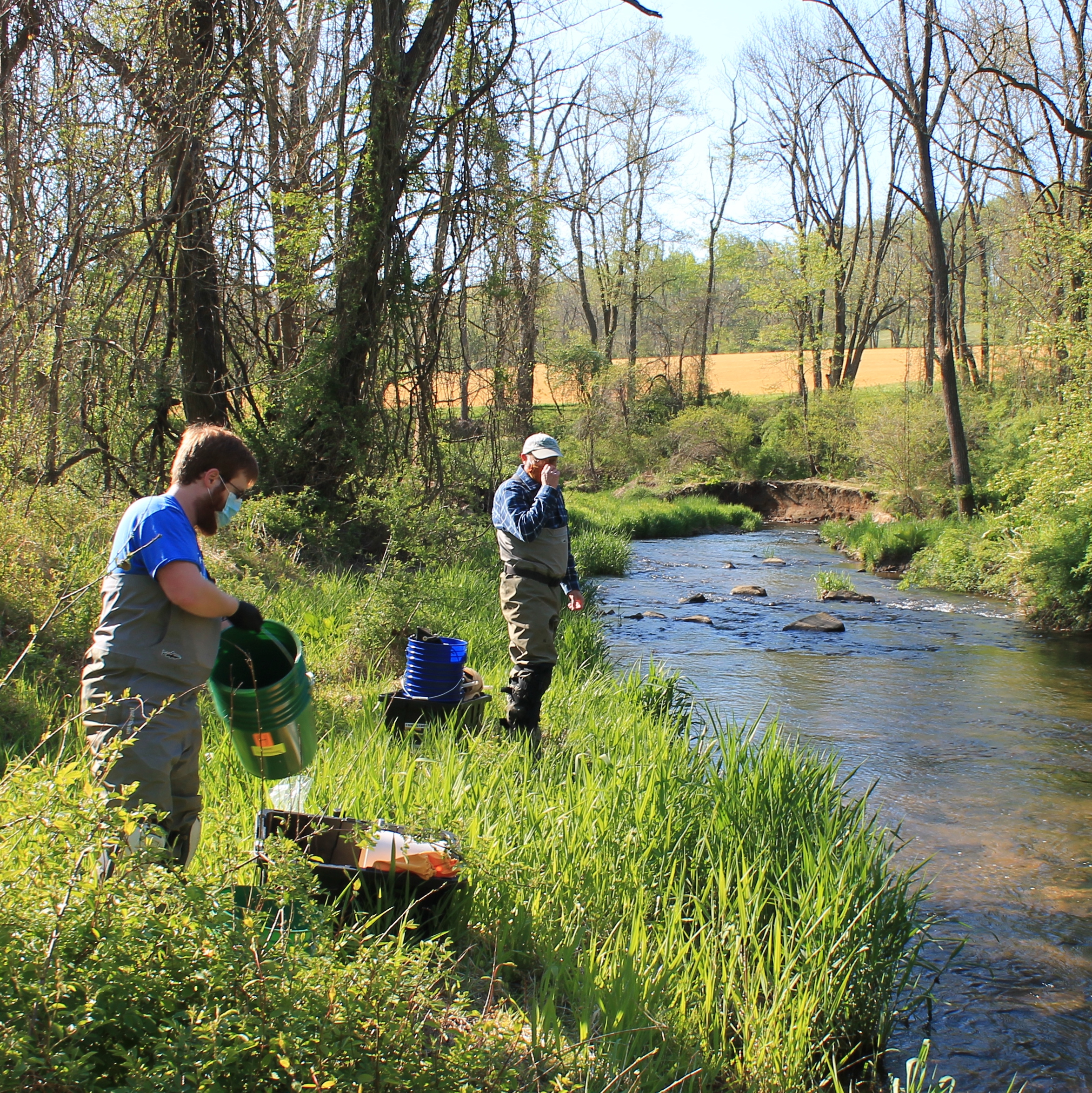
Image credit: French and Pickering Creeks Conservation Trust

Modeling
Sophisticated models help drive our targeting of particular stream and river reaches. Using advanced models, we can assess water quality conditions, sources of pollution, and impacts of changes in land use. Models inform decisions at regional and local levels, and can predict the impact of a particular project on species diversity or pollutant loads. Three modeling tools are available to everyone in the DRWI, Model My Watershed, Stream Reach Assessment Tool, and Field Doc, an account-based service.
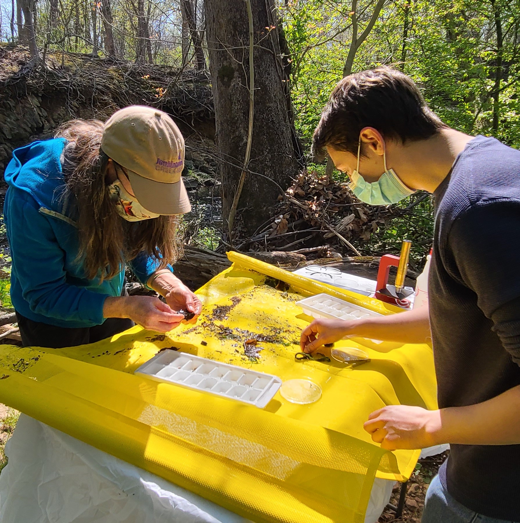
Image credit: Pennypack Ecological Restoration Trust

Monitoring
The essence of the DRWI monitoring program is to detect incremental changes in waters where on-the-ground conservation is occurring. We look for real world changes in fish, insects and algae populations that reflect changing water quality, as well as collecting water to detect changes in pollutant loads. Research teams, conservation partners and community scientists work together to design a collaborative process. Monitoring provides a critical complement to our modeling program, demonstrating a richer story and understanding of how projects are affecting particular streams. Modeling is based on estimates and our best understanding of large-scale processes, while monitoring gathers real-world data from real-world places.
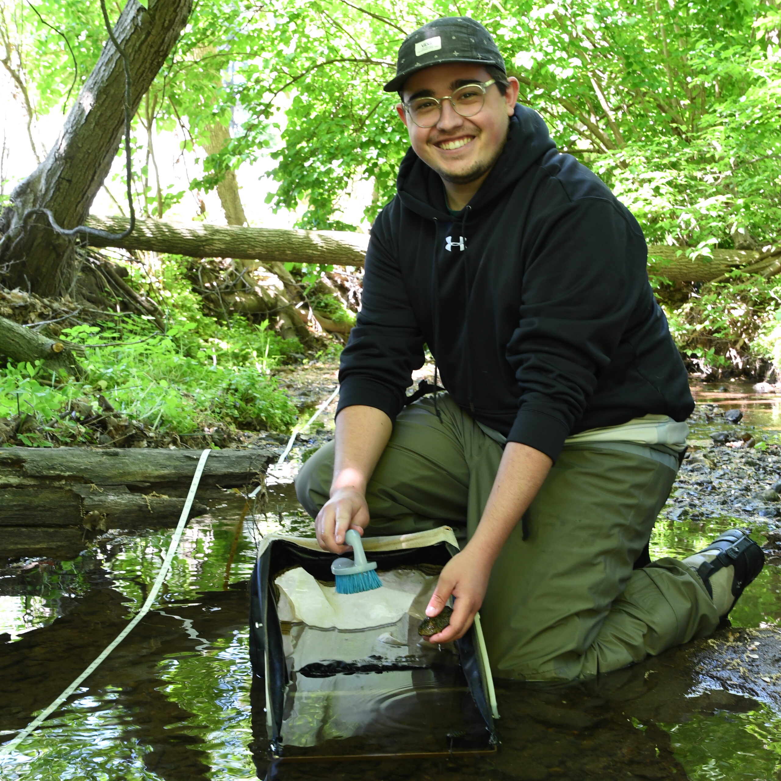
Image: Jake Winger of Pennypack Ecological Restoration Trust working at Pennypack Creek

Community Science
Community partners across the region are deeply involved in our monitoring program. From urban and suburban watersheds to farmlands, DRWI grantees are getting their feet wet, using community science programs to build understanding and connection to local rivers and streams. Some programs focus on relationships with landowners, such as farmers or forest owners, some track sources of pollution, and others provide data that helps community members understand the impact of everyday actions as its funneled to research partners for analysis.
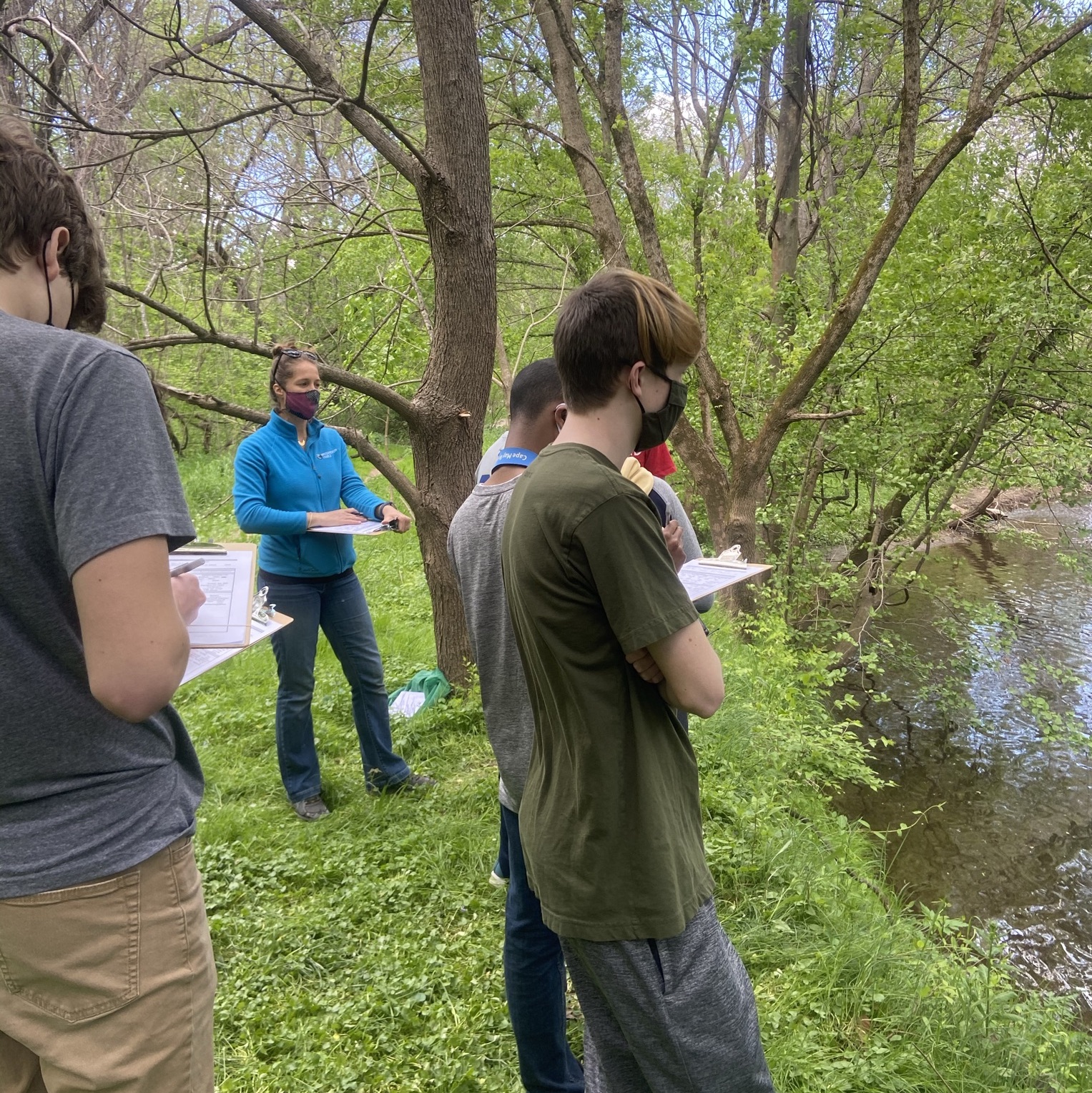
Image credit: Wissahickon Trails